|
|
Newhall Land development really was a village by the river 2,000-4,000 years ago.
By Leon Worden
SCVHistory.com | July 28, 2013
|
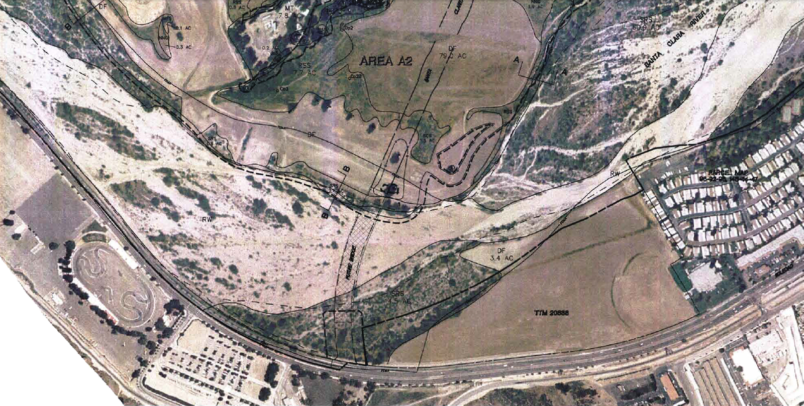
River Village, aka Riverpark or the Panhandle (hereafter "Riverpark"), is a planned development by The Newhall Land and Farming Co. on 695.4 acres of company-owned land in roughly the middle of the city of Santa Clarita. It is bounded by Bouquet Canyon Road on the west, the Castaic Lake Water Agency on the north, Soledad Canyon Road on the south and the Golden Valley Road bridge over the Santa Clara River on the east. Included in the 695.4 acres are 470 acres of open space, chiefly consisting of Santa Clara riverbed. The Santa Clarita City Council approved the development June 14, 2005. It is slated to include 432 single-family homes, 657 condominium units and 16,000 acres of commercial space on the north side of the river. Archaeological work was performed in 2001 and 2002 by David S. Whitley, Ph.D., Joseph M. Simon and Tamara K. Whitley, M.A., of Simi Valley-based W&S Consultants (the same firm that previously conducted the archaeological analysis of Newhall Land's planned Newhall Ranch development west of Interstate 5).
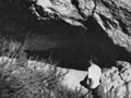
A review of archaeological records revealed three prehistoric sites and one historic site on the Riverpark property. Two of the three prehistoric sites (CA-LAN-1824 and CA-LAN-1829) consisted of either two or three isolated lithic (stone) artifacts and were determined by W&S not to qualify as true archaeological sites under the California Environmental Quality Act (CEQA). The single historic site (CA-LAN-2105H) is the 1913 Los Angeles Aqueduct, which is still in use. It lies within an easement across the property and thus was not part of the actual project approval. The third prehistoric site (CA-LAN-351), first recorded in 1968, is located on the north side of the Santa Clara River, roughly opposite the Santa Clarita Metrolink station. It is described as a large habitation or village with "the potential to contain scientific information useful for the reconstruction of prehistoric lifeways in the Santa Clara Valley region, and/or artifacts or features that may be of religious importance to native Americans." The remainder of this essay relates to this site, which Whitley and Simon determined was actually two separate and significant archaeological sites. Early Village
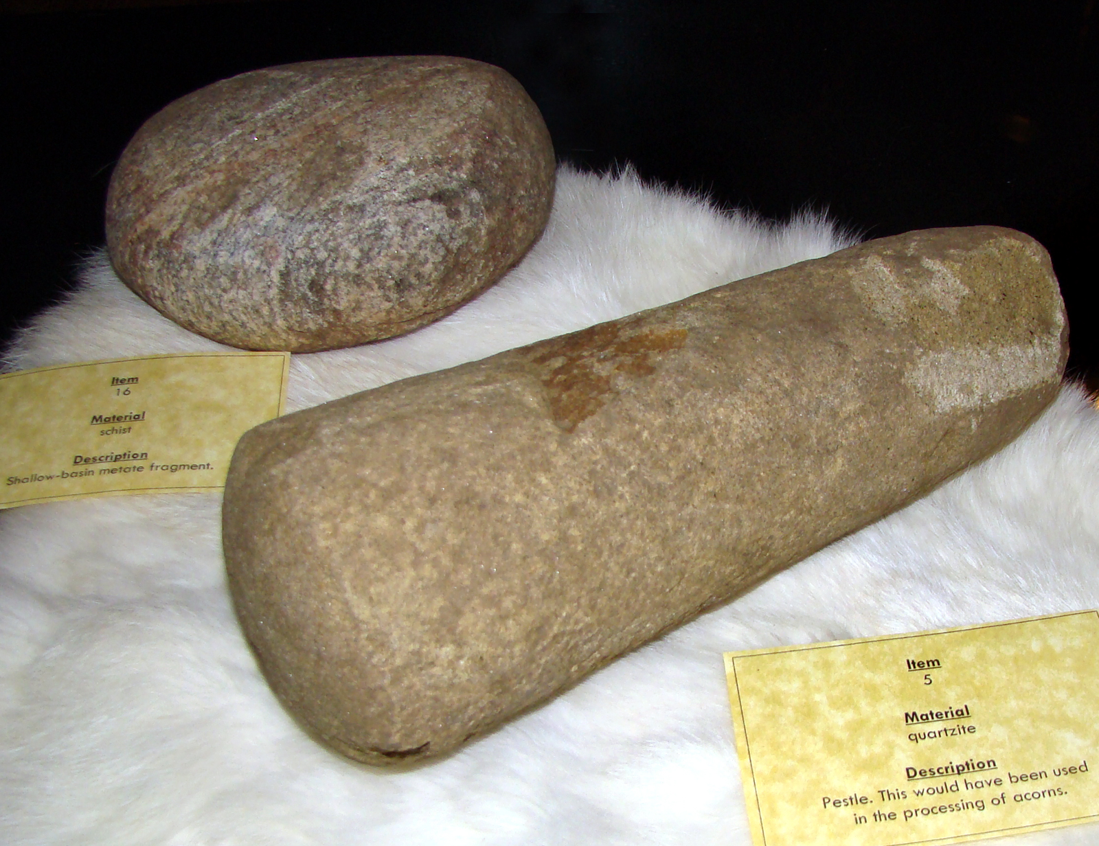
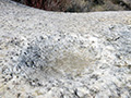
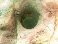
Earlier surveys of CA-LAN-351 established its presence on a 309x185-meter area spanning three terrace layers adjacent to a bend in the course of the Santa Clara River. From a variety of tools, a midden deposit, burnt bone and fire-cracked rocks, it was determined to be a large habitation site. The presence of mortar fragments dated it, at least partially, to the Middle Horizon, which started 3,500 years ago when mortars and pestles replaced manos and metates. Whitley and Simon conducted the Phase II field survey in March 2002. Tamara Whitley conducted laboratory analysis. Richard Angulo, of the California Indian Foundation, and Charlie Cooke, a lifelong SCV resident and local tribal elder, were the native American monitors. Whitley and Simon found that the soils of the upper terrace differed from those of the lower two, and that they were separated by 100 feet in distance and 25 feet in elevation. "These circumstances suggested that the large area originally recorded as a single site perhaps should more correctly be considered two distinct archaeological sites," they wrote. So W&S reclassified them. The primary area of original discovery on the lower terraces (1210-1260 feet elevation above sea level) retained its designation as CA-LAN-351, while the deposits on the third terrace above the stream bed (1280-1285 feet) were redesignated CA-LAN-3043.
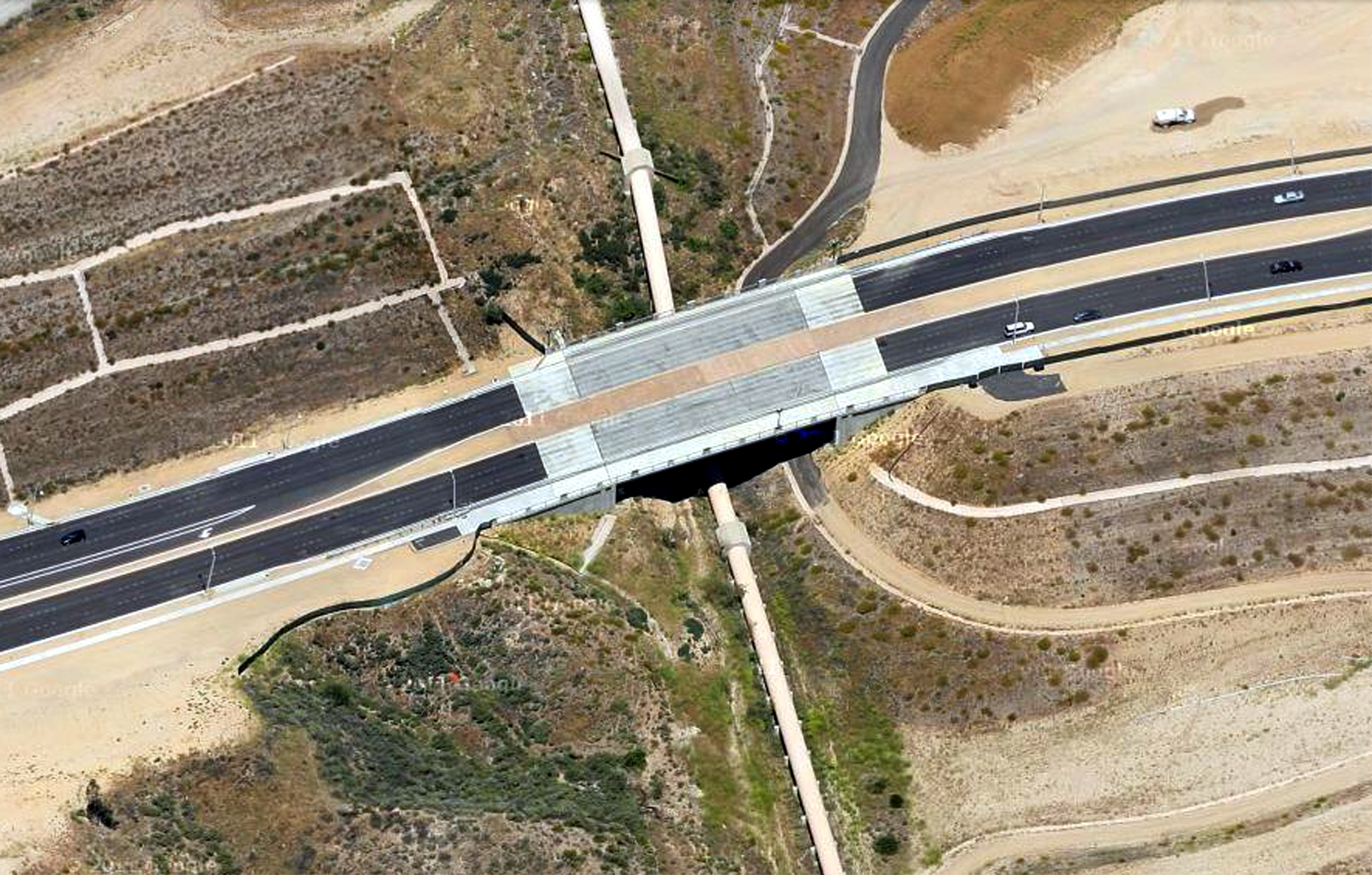
Whitley and Simon examined surface deposits on the revised CA-LAN-351 site to determine its maximum boundaries, recognizing that a surface scatter is generally twice as large as the buried deposit. The site was found to be ovoid, and up to 19,780 square meters in size. No artifacts were recovered from the new CA-LAN-351 site because Newhall Land had decided, going in, to leave it undisturbed. Thus we can't know exactly what information it might yield. "Because of the planned preservation of this site, there was no justification for subsurface testing," Whitley and Simon wrote, noting that CEQA strives to minimize adverse effects, and archaeological testing is inherently destructive. Today CA-LAN-351 remains buried beneath the new Santa Clara River Trail, a non-vehicular, multimodal pathway. Contrarily, CA-LAN-3043, the upper terrace, had already been disturbed by grading and was slated for future development, so the approach was all together different. Reviewing the Evidence
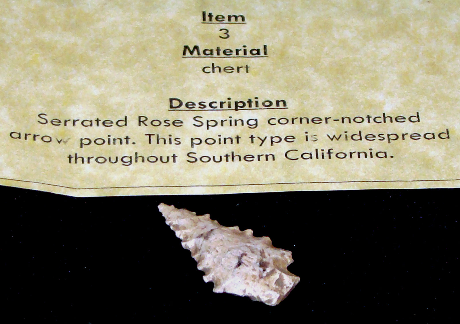
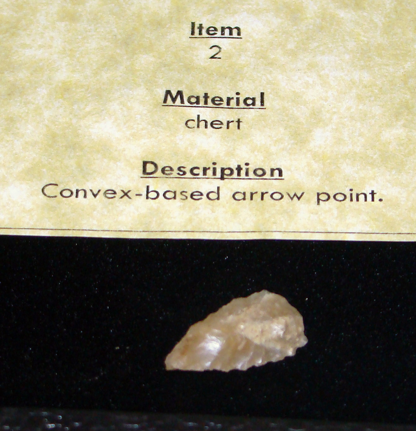
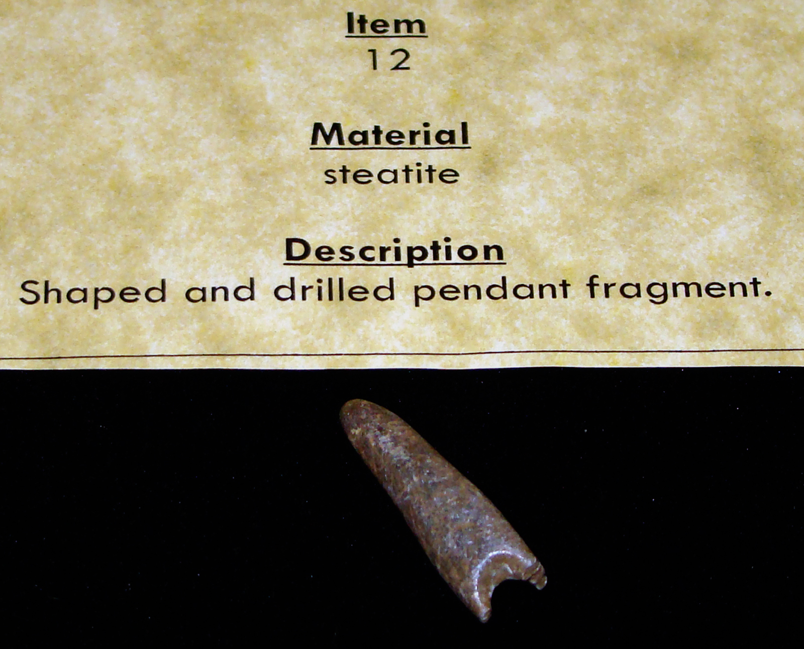
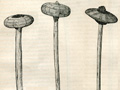
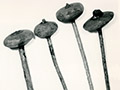
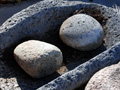
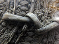
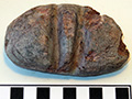
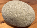
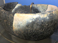
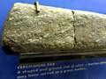
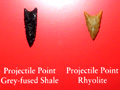
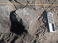
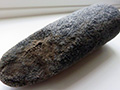
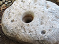
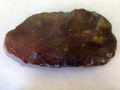
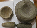
CA-LAN-3043 was determined to be irregularly shaped at 210 by 135 meters in size, or roughly 28,350 square meters. Fifteen 1-by-1 meter test pits were dug with picks, shovels and trowels. Twenty-six archaeological specimens were recovered from the surface and 212 from below the surface. All but two were stone tools or debitage (waste from stone tool-making). The two were burnt animal bone. Among the artifacts were both metates and the base of a basket-hopper mortar — which indicates the Middle Horizon, i.e., less than 3,500 years ago. Also found were knife fragments and a spear point, which suggests a date older than 1,500 years, when spears were replaced with bows and arrows. The presence of obsidian — a trade item from the east — indicates a date no later than 800 years ago, when "the desert-to-inland obsidian trade essentially terminated," Whitley and Simon write, noting that obsidian hydration dating shows "that the site was at least partly used between about A.D. 356 and 698." Also important is what wasn't found at certain depths where artifacts were found — namely arrow points, which would be newer than 1,500 years ago; and shell beads, which would indicate trade with the Chumash to the west. (See note about arrow points below.) "When the debitage is classified, studied, and interpreted, it is suggested that the inhabitants of the site were more closely allied with groups to the east and perhaps north than to the west," Whitley and Simon write. Combined, the spear point, basket-hopper mortar fragment and obsidian, along with the absence of later-dating artifacts, indicate "a minimal age bracket for CA-LAN-3043 between 3,500 and 1,500 (years ago), which is the Intermediate Period (aka Middle Horizon)," the archaeologists conclude. "Note that this is a minimum estimate for the site age; it could contain artifacts that are both younger and older than this 2,000 years' stretch." Indeed it did, as we shall see. Finally, Whitley and Simon report that the soil where many artifacts were found is consistent with soil from 3,000 years ago. "Assuming that the identification of the hopper mortar is correct, (the site) extends into the last 3,500 years and thus is all or at least partly Intermediate Period in age. Whether it extends back into Early Millingstone times (pre-3,500 years ago) is unknown, although the nature of the soils suggests that this is possible." "The site appears to represent a terminal early Millingstone/Early Intermediate Period settlement dating from circa 4000 to 2000 years before present." Excavation, Preservation So who used CA-LAN-3043, which Whitley and Simon define as a "small, low-density campsite" that "appears to have been occupied by a small group of individuals, perhaps a single extended family, sporadically for a long period?"
The Tataviam people are generally believed to have taken up residence in the Santa Clarita Valley at the transition from the Middle to the Late Horizon, 1,500 years ago. Some suggest they may have arrived a bit earlier — but not as long ago as 3,500 years or more, when some local sites, particularly at Vasquez Rocks, were used. Nobody knows much about the people who predated the Tataviam. Whoever they were, they appear to have made only seasonal use of CA-LAN-3043. (Seasonal versus all-year use of the remainder of CA-LAN-351 cannot be inferred from the examination of CA-LAN-3043.) Seasonal use of CA-LAN-3043 is evidenced by the absence of things like housepits, hearths and burials, and of more formal types of tools such as shell beads and ornaments — trade items that have been found alongside obsidian at other SCV habitation sites. "CA-LAN-3043, then, is likely one seasonal component of the early prehistoric settlement system for the upper Santa Clara River drainage," used by a "small group of people whose subsistence practices emphasized plant foods, probably hard seeds," Whitley and Simon write. Because of CA-LAN-3043's "potential for contributing to our understanding of the prehistory of this portion of California," Whitley and Simon conclude that the site shouldn't be developed — but if it's unavoidable, then the artifacts should be excavated and preserved. Regardless of whether it was avoidable, development was inevitable, for the following stated reasons:
"Preservation of this site is infeasible as it would necessitate realignment of Santa Clarita Parkway, (which) could present engineering and design safety issue. Additionally, if the roadway were to be realigned, additional remedial grading would occur as well as a substantial loss of housing units which would be in conflict with project objectives of providing a substantial number of new housing units to accommodate regional growth in a location that is adjacent to existing and planned infrastructure."
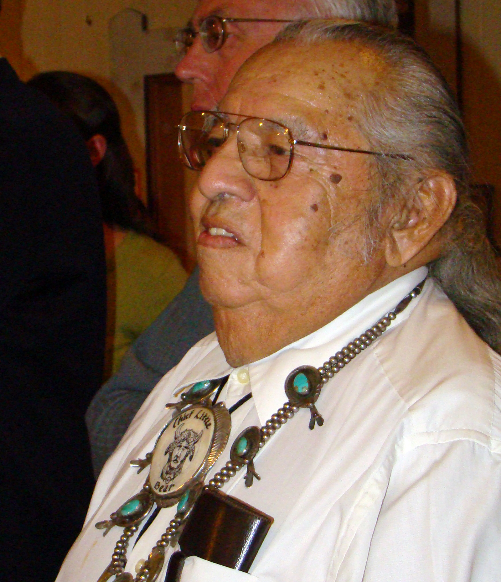
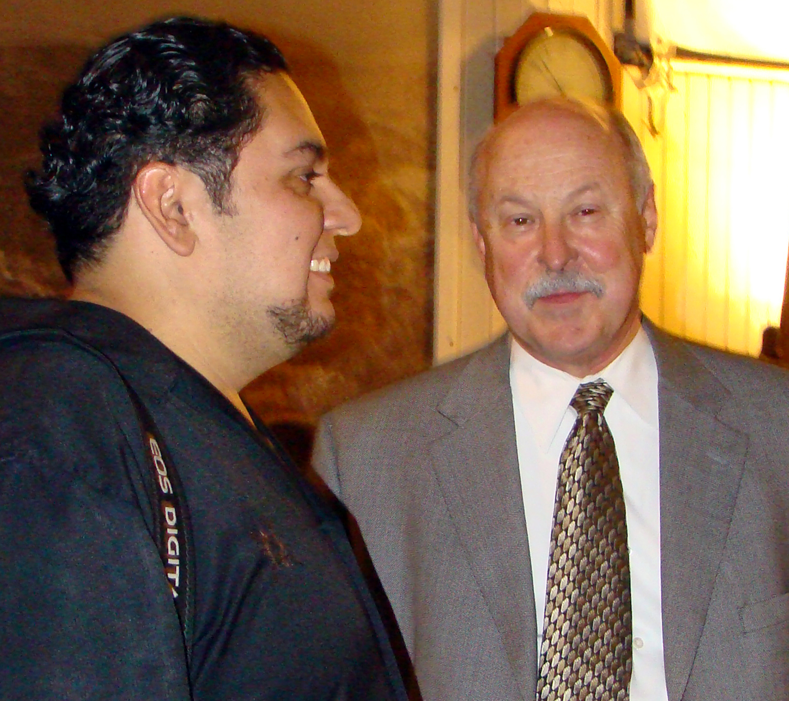
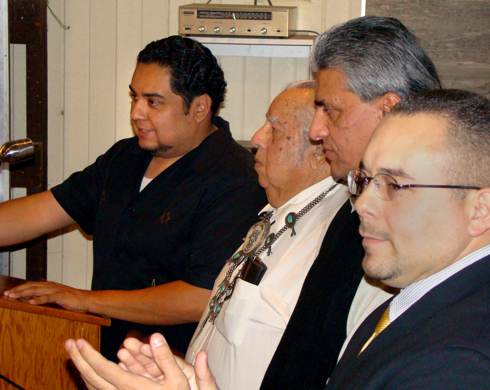
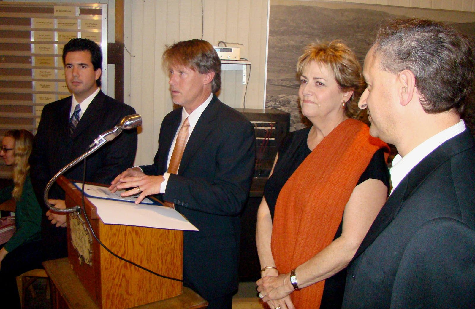
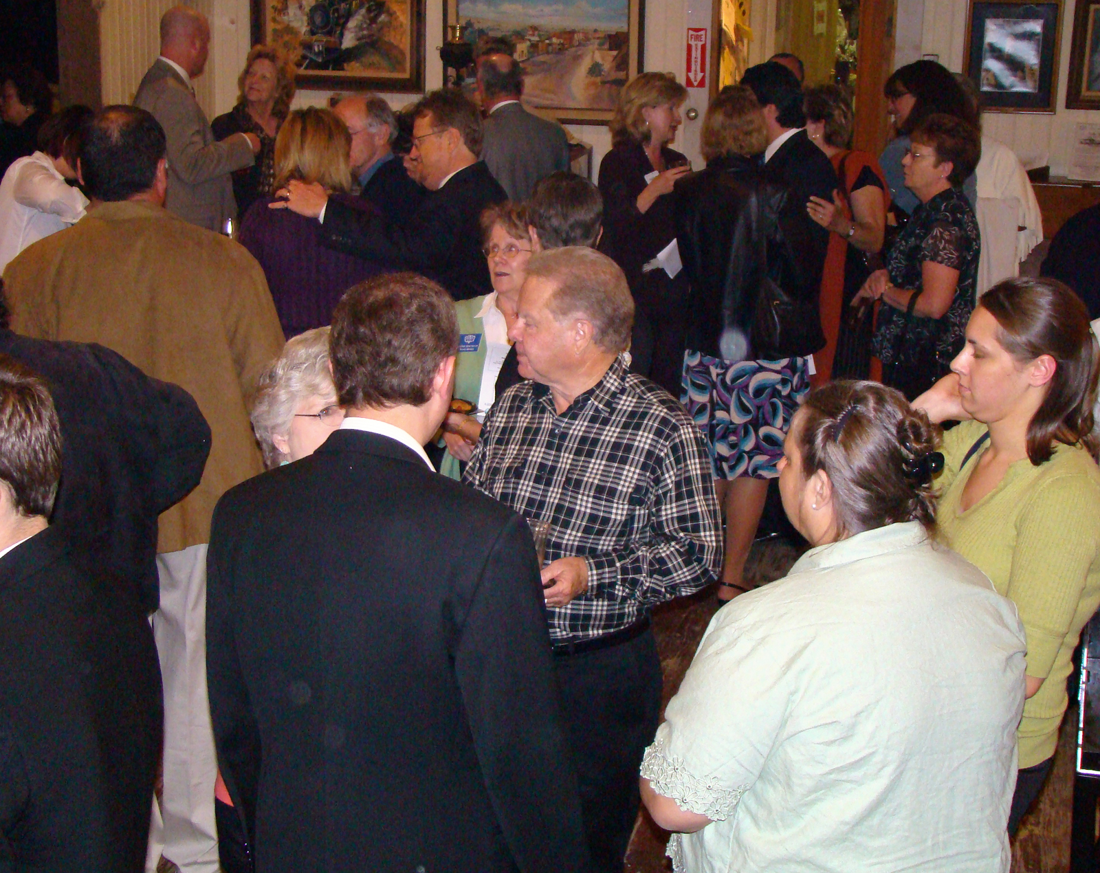
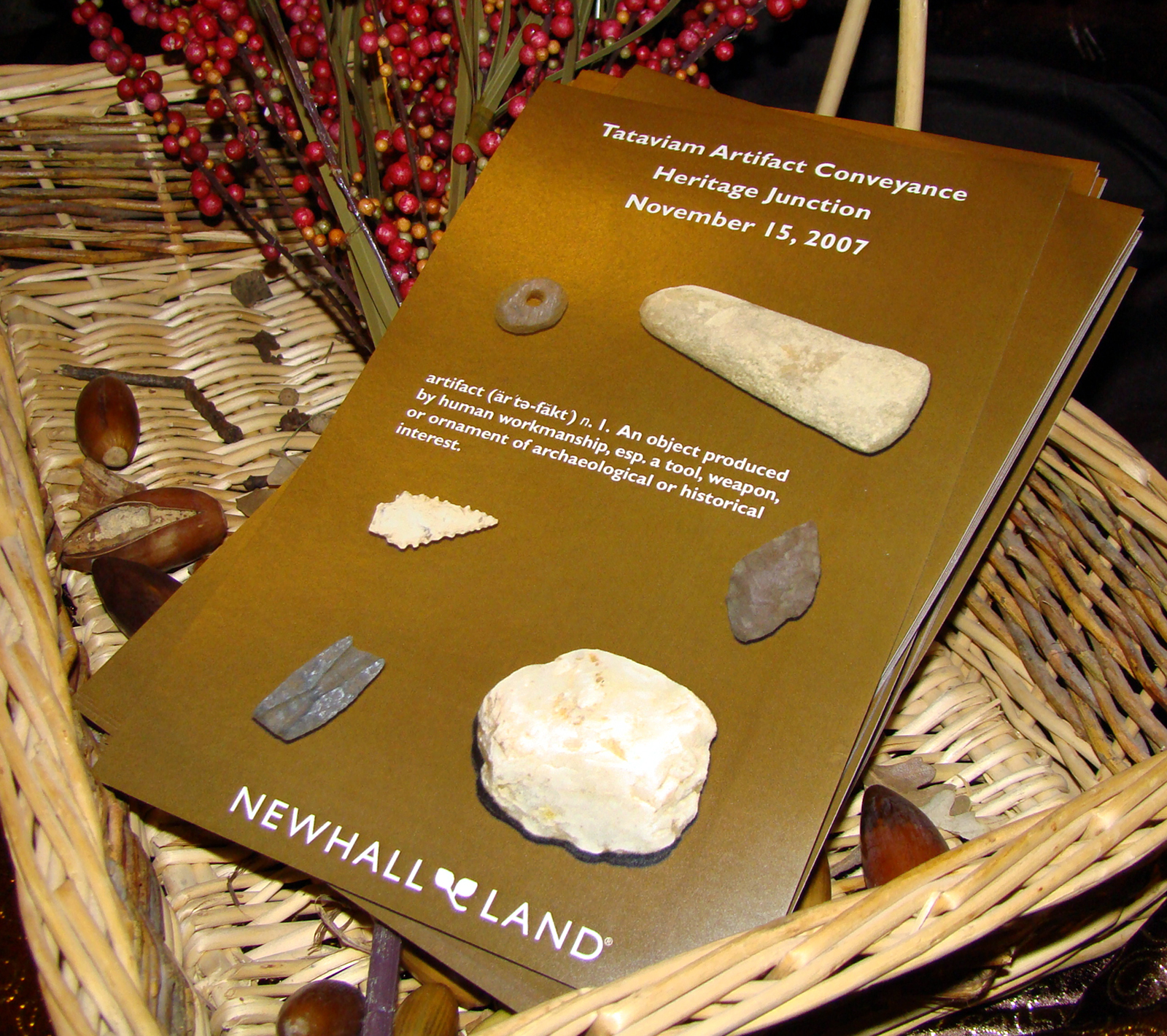
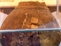
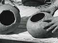
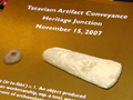
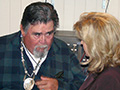
On Nov. 15, 2007, The Newhall Land and Farming Co. conveyed 7,000 artifacts, unearthed from CA-LAN-3043, to the Santa Clarita Valley Historical Society for preservation and study. (Note: Arrow points were included in the artifact conveyance; their presence is consistent with other evidence showing use as late as A.D. 698.) Present at the "handover" ceremony at the Saugus Train Station Museum in Newhall were Rudy Ortega Sr., leader of the Fernandeño Tataviam Band of Mission Indians; his son and eventual successor, Rudy Ortega Jr.; and local elder Charlie Cooke of Acton. "Newhall Land takes great pride in our stewardship of the land, which we have been doing for over a hundred years," said Steve Zimmer, the company's executive vice president. Further reading: Riverpark by Newhall Land: Draft Environmental Impact Report, Cultural Resources Section. Impact Sciences, February 2004. ©2013 SCVHistory.com
|
Bowers Cave Specimens (Mult.)
Bowers on Bowers Cave 1885
Stephen Bowers Bio
Bowers Cave: Perforated Stones (Henshaw 1887)
Bowers Cave: Van Valkenburgh 1952
• Bowers Cave Inventory (Elsasser & Heizer 1963)
Tony Newhall 1984
• Chiquita Landfill Expansion DEIR 2014: Bowers Cave Discussion
Vasquez Rock Art x8
Ethnobotany of Vasquez, Placerita (Brewer 2014)
Bowl x5
Basketry Fragment
Blum Ranch (Mult.)
Little Rock Creek
Grinding Stone, Chaguayanga
Fish Canyon Bedrock Mortars & Cupules x3
2 Steatite Bowls, Hydraulic Research 1968
Steatite Cup, 1970 Elderberry Canyon Dig x5
Ceremonial Bar, 1970 Elderberry Canyon Dig x4
Projectile Points (4), 1970 Elderberry Canyon Dig
Paradise Ranch Earth Oven
Twined Water Bottle x14
Twined Basketry Fragment
Grinding Stones, Camulos
Arrow Straightener
Pestle
Basketry x2
Coiled Basket 1875
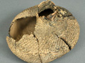
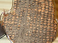
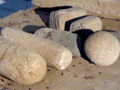
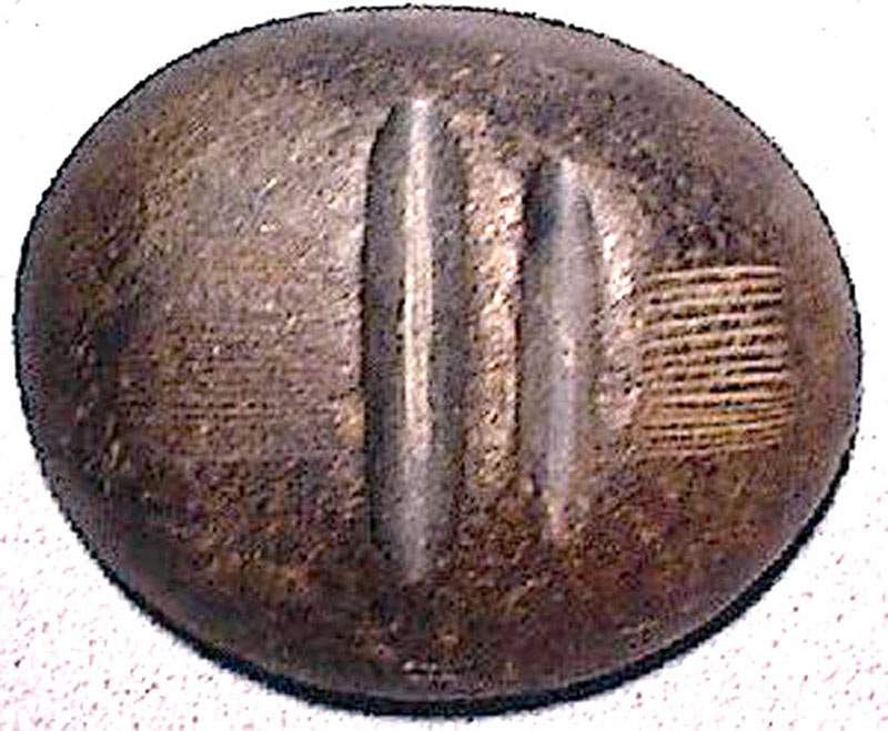
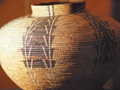
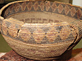
Riverpark, aka River Village (Mult.)
Riverpark Artifact Conveyance
Tesoro (San Francisquito) Bedrock Mortar
Mojave Desert: Burham Canyon Pictographs
Leona Valley Site (Disturbed 2001)
2 Baskets
So. Cal. Basket
Biface, Haskell Canyon
2 Mortars, 2 Pestles, Bouquet Canyon
|


The site owner makes no assertions as to ownership of any original copyrights to digitized images. However, these images are intended for Personal or Research use only. Any other kind of use, including but not limited to commercial or scholarly publication in any medium or format, public exhibition, or use online or in a web site, may be subject to additional restrictions including but not limited to the copyrights held by parties other than the site owner. USERS ARE SOLELY RESPONSIBLE for determining the existence of such rights and for obtaining any permissions and/or paying associated fees necessary for the proposed use.
