
Page 903 - anf1995elsmere_deis
P. 903
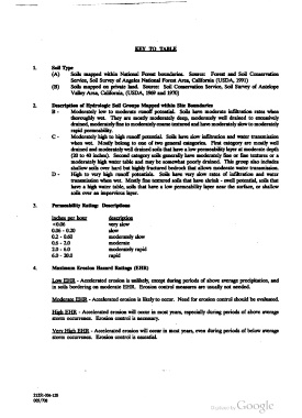
KEY TQ IAB


                     Soil'l‘m
                     (A)    Soils mapped within National Forest boundaries.  Source:  Forest and Soil Conservation
                            Service, Soil Survey of Angeles National Forest Area, California (USDA, 1991)
                     (B)    Soils mapped on private land. Source: Soil Conservation Service, Soil Survey of Antelope
                            Valley Area, California, (USDA, 1969 and 1970)

                     Description of Hydrologic Soil Groups Mapped within Site Boundaries
                            Moderately low to moderate runofl' potential. Soils have moderate infiltration rates when
                            thoroughly wet. They are mostly moderately deep, moderately well drained to excessively
                            drained, moderately fine to moderately coarse textured and have moderately slow to moderately
                            rapid permeability.
                            Moderately high to high runoff potential. Soils have slow infiltration and water transmission
                            when wet. Mostly belong to one of two general categories. First category are mostly well
                            drained and moderately well drained soils that have a low permeability layer at moderate depth
                            (20 to 40 inches). Second category soils generally have moderately fine or fine textures or a
                            moderately high water table and may be somewhat poorly drained. This group also includes
                            shallow soils over hard but highly fractured bedrock that allows moderate water transmission.
                            High to very high runoff potentials.  Soils have very slow rates of infiltration and water
                            transmission when wet. Mostly fine textured soils that have shrink - swell potential, soils that
                            have a high water table, soils that have a low permeability layer near the surface, or shallow
                            soils over an impervious layer.

                     Permeability Rating: Descriptions

                     ashram                I   . . u
                     <0.06                 very slow
                     0.06 - 0.20           slow
                     0.2 - 0.60            moderately slow
                     0.6 - 2.0             moderate
                     2.0 - 6.0             moderately rapid
                     6.0 - 20.0            rapid

                     Maximum Erosion Hazard Ratings (EHR)

                     Qw EHR - Accelerated erosion is unlikely, except during periods of above average precipitation, and
                     in soils bordering on moderate EHR. Erosion control measures are usually not needed.


                     Mggeroto EHR - Accelerated erosion is likely to occur. Need for erosion control should be evaluated.
                     High EHR - Accelerated erosion will occur in most years, especially during periods of above average
                     storm occurrence. Erosion control is necessary.

                     Vog High EHR - Accelerated erosion will occur in most years, even during periods of below average
                     storm occurrence. Erosion control is essential.


              21351-11542
              006/108