|
|
Piru - Simi - Newhall Oil Fields
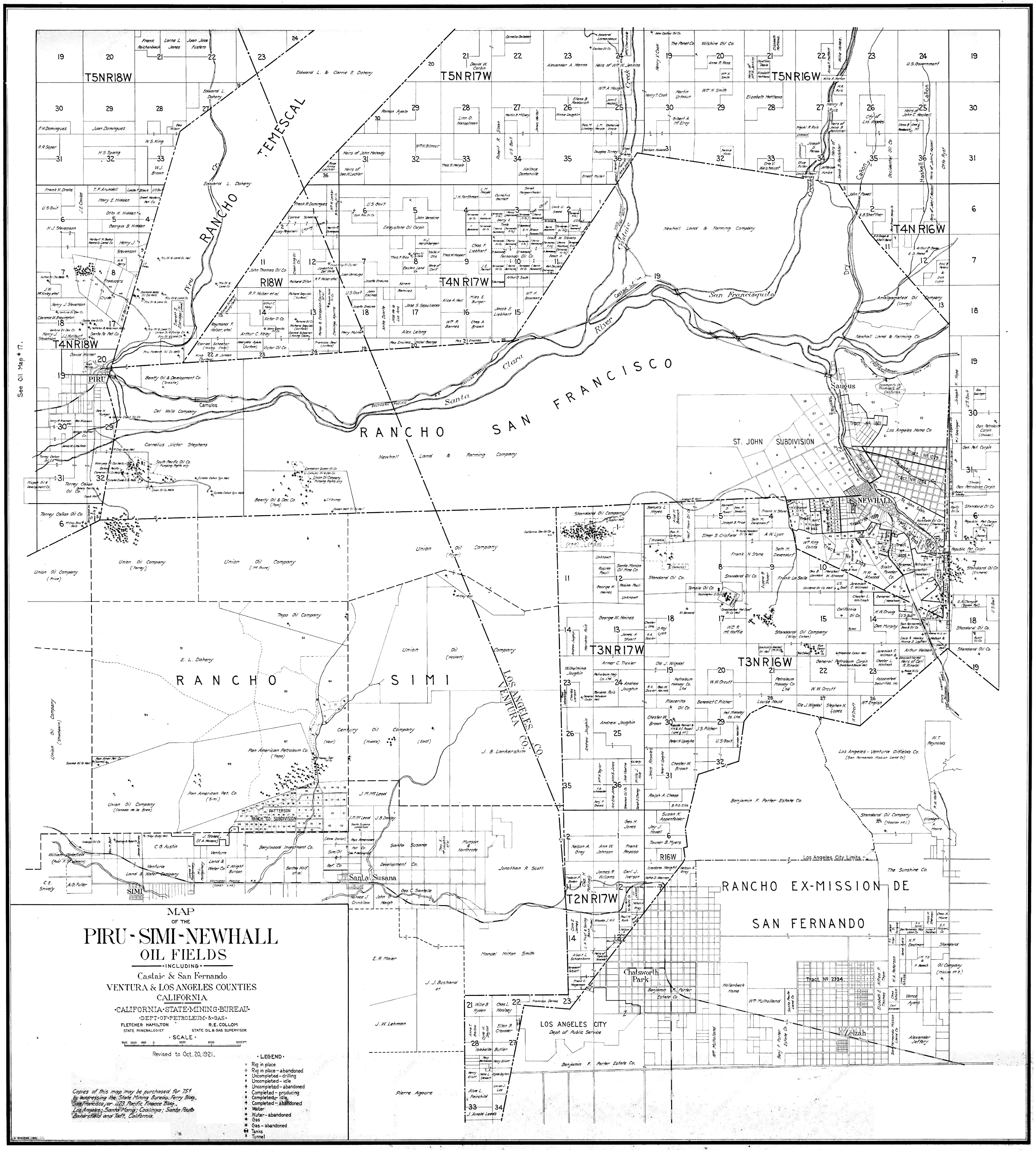
Click image to enlarge | SUPERSIZE Note: Must be viewed at Supersize. Map of the Piru - Simi - Newhall Oil Fields, including Castaic and San Fernando. California State Mining Bureau, Department of Petroleum & Gas. Revised to Oct. 20, 1921. Shows land ownership throughout the Santa Clarita, San Fernando and Simi valleys.
HS2101: 19200 dpi jpeg. |
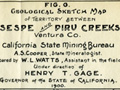
Newhall Area 1901/02
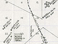
Fillmore to Camulos 1900
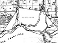
Land Ownership 1921
|
[ RETURN TO TOP ]
[ RETURN TO MAIN INDEX ]
[ PHOTO CREDITS ]
[ BIBLIOGRAPHY ]
[ BOOKS FOR SALE ]
SCVHistory.com is another service of SCVTV, a 501c3 Nonprofit • Site contents ©SCVTV
The site owner makes no assertions as to ownership of any original copyrights to digitized images. However, these images are intended for Personal or Research use only. Any other kind of use, including but not limited to commercial or scholarly publication in any medium or format, public exhibition, or use online or in a web site, may be subject to additional restrictions including but not limited to the copyrights held by parties other than the site owner. USERS ARE SOLELY RESPONSIBLE for determining the existence of such rights and for obtaining any permissions and/or paying associated fees necessary for the proposed use.
The site owner makes no assertions as to ownership of any original copyrights to digitized images. However, these images are intended for Personal or Research use only. Any other kind of use, including but not limited to commercial or scholarly publication in any medium or format, public exhibition, or use online or in a web site, may be subject to additional restrictions including but not limited to the copyrights held by parties other than the site owner. USERS ARE SOLELY RESPONSIBLE for determining the existence of such rights and for obtaining any permissions and/or paying associated fees necessary for the proposed use.
