|
|
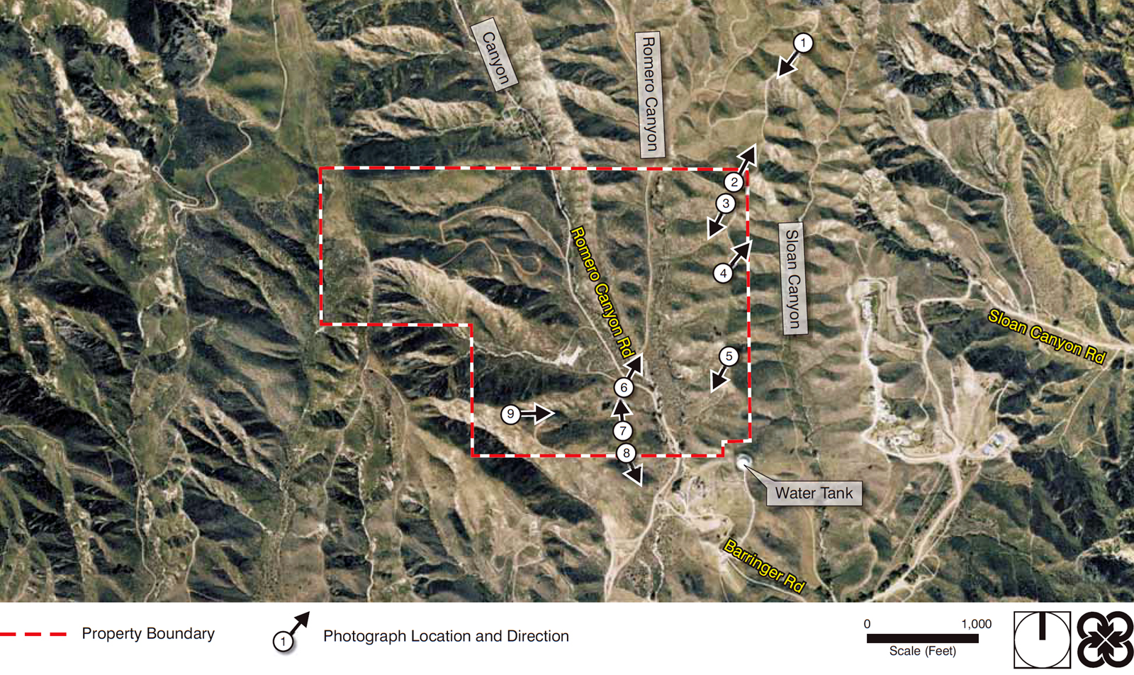
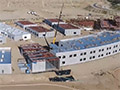
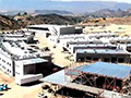
Romero Canyon | Castaic, California
Click image to enlarge
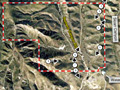
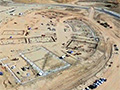
Aerial photograph of the undeveloped Castaic High School site, from the Castaic High School Draft Environmental Impact Report (July 2012).
LW2442e: 9600 dpi jpeg from pdf. |
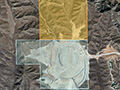
DEIR: Cultural Resources (2012) Phase I Archaeological (Romani 2010)
Land Patents 1922
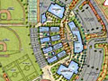
Maps & Renderings
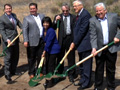
Groundbreaking 5/8/2013
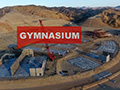
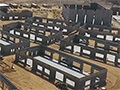
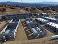
Drone Video 6/5/2017
Drone Video 9/5/2017
Drone Video 9/20/2017
Drone Video 11/21/2017
Drone Video 4/18/2018
Drone Video 8/21/2018
Site Tour 12/19/2018
|

[ RETURN TO TOP ]
[ RETURN TO MAIN INDEX ]
[ PHOTO CREDITS ]
[ BIBLIOGRAPHY ]
[ BOOKS FOR SALE ]
SCVHistory.com is another service of SCVTV, a 501c3 Nonprofit • Site contents ©SCVTV
The site owner makes no assertions as to ownership of any original copyrights to digitized images. However, these images are intended for Personal or Research use only. Any other kind of use, including but not limited to commercial or scholarly publication in any medium or format, public exhibition, or use online or in a web site, may be subject to additional restrictions including but not limited to the copyrights held by parties other than the site owner. USERS ARE SOLELY RESPONSIBLE for determining the existence of such rights and for obtaining any permissions and/or paying associated fees necessary for the proposed use.
The site owner makes no assertions as to ownership of any original copyrights to digitized images. However, these images are intended for Personal or Research use only. Any other kind of use, including but not limited to commercial or scholarly publication in any medium or format, public exhibition, or use online or in a web site, may be subject to additional restrictions including but not limited to the copyrights held by parties other than the site owner. USERS ARE SOLELY RESPONSIBLE for determining the existence of such rights and for obtaining any permissions and/or paying associated fees necessary for the proposed use.
