|
|
|
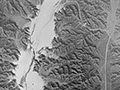
It is difficult to know whether this is a composite aerial view of lower San Francisquito Canyon before or after the flood of March 1928, or both before and after. The aerial survey was conducted for the County of Los Angeles by Fairchild Aerial Surveys with a start date of January 1, 1928, and an end date of December 31, 1928. The center point is roughly the intersection of today's McBean Parkway and Decoro Drive.
LW3493: Download original tiff here.
|
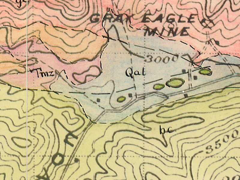
Geology (Nickell 1928)
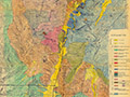
Geology (Elizondo 1953)
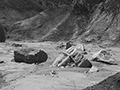
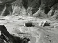
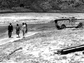
Still Flowing 3/13/1928
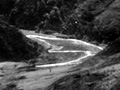
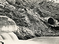
San Francisquito Cyn.
Just Below Dam
San Francisquito Cyn.
Photo Gallery
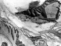
Ruiz Cemetery Area
Lower S.F. Canyon
Castaic Junction x3
3 mi. West of Castaic Junction
|
[ RETURN TO TOP ]
[ RETURN TO MAIN INDEX ]
[ PHOTO CREDITS ]
[ BIBLIOGRAPHY ]
[ BOOKS FOR SALE ]
SCVHistory.com is another service of SCVTV, a 501c3 Nonprofit • Site contents ©SCVTV
The site owner makes no assertions as to ownership of any original copyrights to digitized images. However, these images are intended for Personal or Research use only. Any other kind of use, including but not limited to commercial or scholarly publication in any medium or format, public exhibition, or use online or in a web site, may be subject to additional restrictions including but not limited to the copyrights held by parties other than the site owner. USERS ARE SOLELY RESPONSIBLE for determining the existence of such rights and for obtaining any permissions and/or paying associated fees necessary for the proposed use.
The site owner makes no assertions as to ownership of any original copyrights to digitized images. However, these images are intended for Personal or Research use only. Any other kind of use, including but not limited to commercial or scholarly publication in any medium or format, public exhibition, or use online or in a web site, may be subject to additional restrictions including but not limited to the copyrights held by parties other than the site owner. USERS ARE SOLELY RESPONSIBLE for determining the existence of such rights and for obtaining any permissions and/or paying associated fees necessary for the proposed use.
