|
|

Skyline Ranch Approval Package.
November 13, 2017.
|
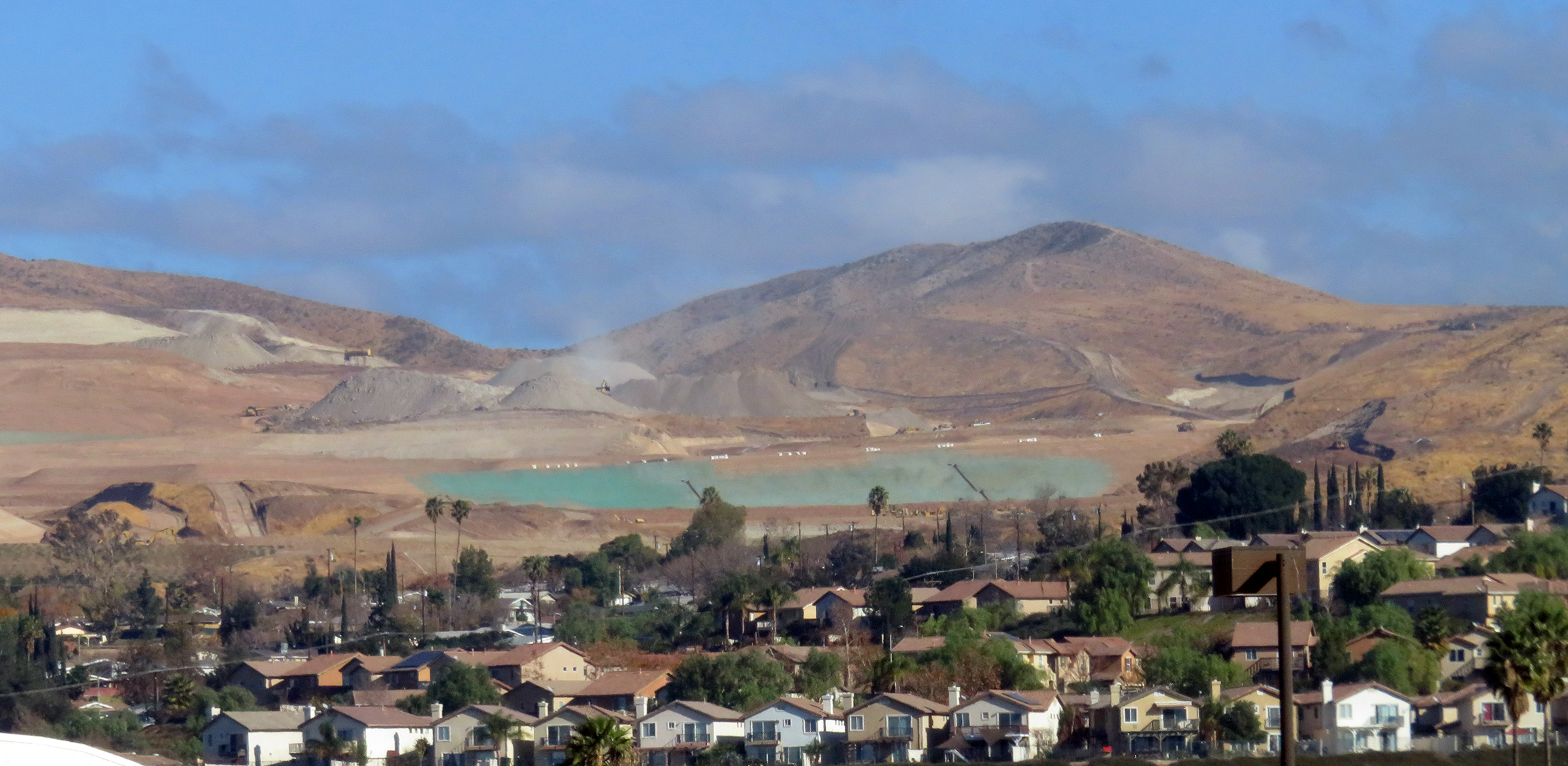
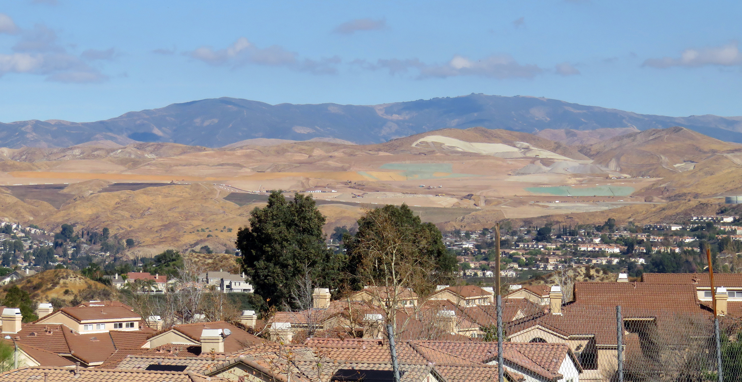
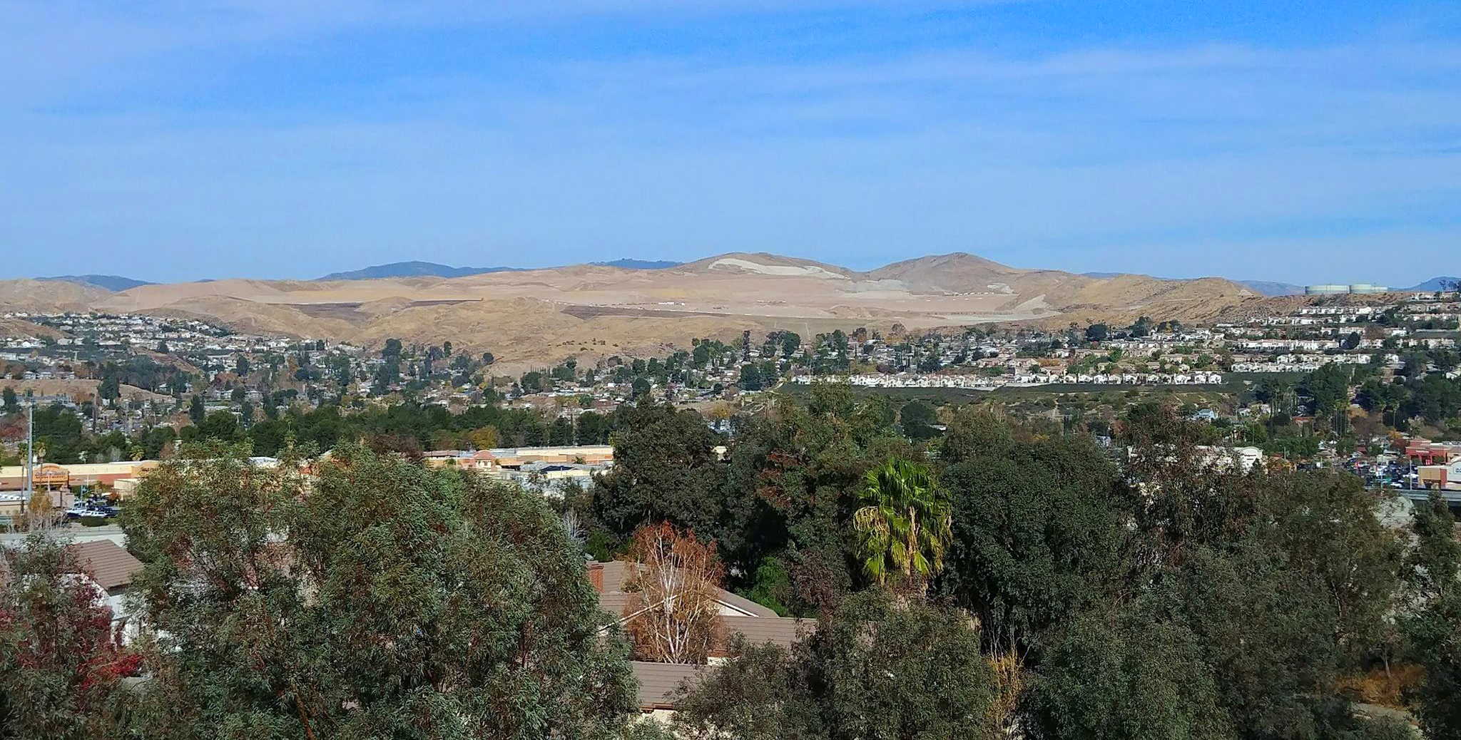
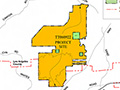
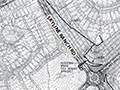
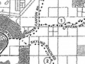
The subject property is located west of Sierra Highway, south of Vasquez Canyon Road, and north of the City of Santa Clarita in the Sand Canyon Zoned District. The amendment to the vesting tentative tract map dated September 27, 2017, depicts 1,087 total lots, including 1,032 single-family residence lots, three multifamily residence lots developed with 188 detached single-family residence condominium units, 17 open space lots, one public park lot, five private recreation lots, one public school lot, 12 debris basin lots, two water tank lots, one booster station lot and 13 private drive and fire lane lots on 2,173.25 acres.
Download original pdf here.
|
Draft EIR 7/2009
EIR Addendum 12/2016
Approval Package 12/2016
Superbloom 5/2017
Approval Package 11/2017
|


The site owner makes no assertions as to ownership of any original copyrights to digitized images. However, these images are intended for Personal or Research use only. Any other kind of use, including but not limited to commercial or scholarly publication in any medium or format, public exhibition, or use online or in a web site, may be subject to additional restrictions including but not limited to the copyrights held by parties other than the site owner. USERS ARE SOLELY RESPONSIBLE for determining the existence of such rights and for obtaining any permissions and/or paying associated fees necessary for the proposed use.
