|
|
Great Flood of 1938
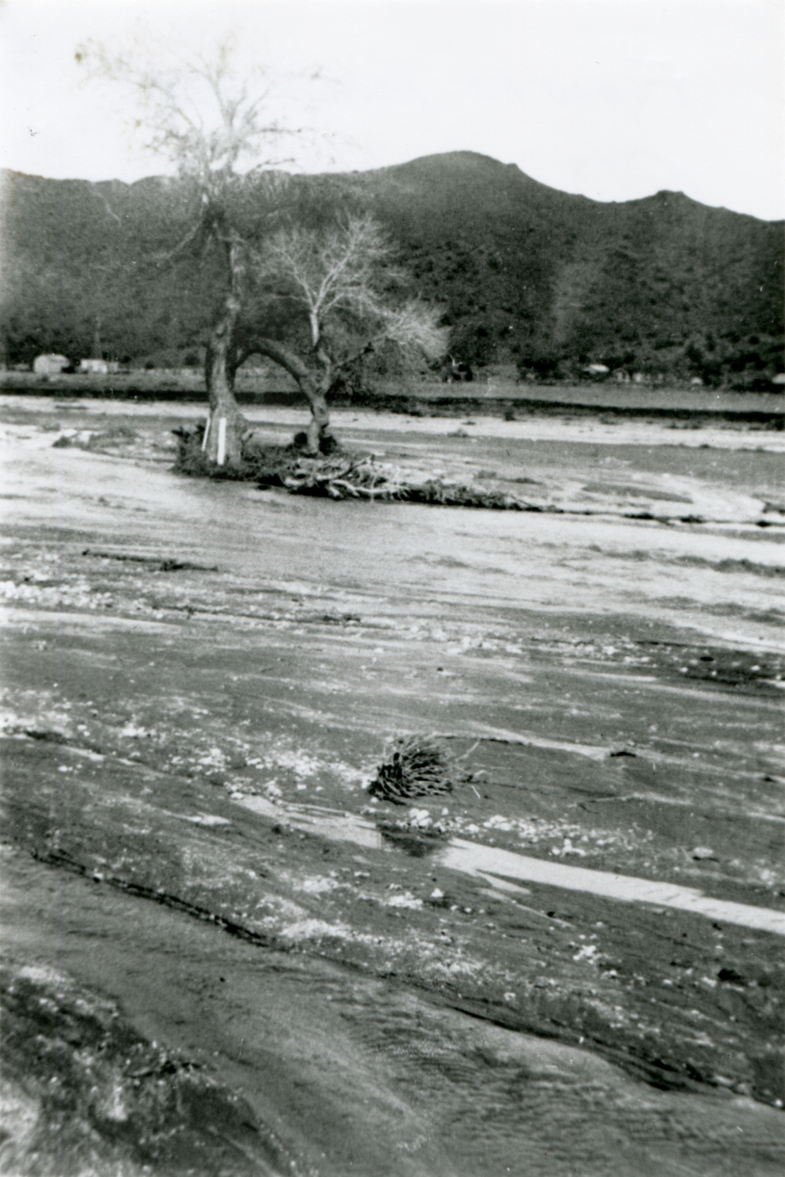
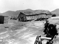
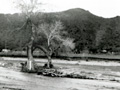
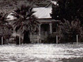
Click image to enlarge The Santa Clara River floods. Unidentified photograph; probably in Acton and probably the Great Flood of March 2, 1938, because it's with a grouping of Acton photos and some depict the 1938 flood. (If you know where there is or was an Indian signal tree in the middle of the Santa Clara riverbed, please tell us.) Surpassing the St. Francis Flood of 1928 in scope — if not in deaths — the Great Flood (aka Los Angeles Flood) of 1938 hit the greater Los Angeles area hardest overnight on March 1-2. By the time the water receded, 5,601 buildings had been destroyed and 113 to 115 Southland residents were killed. Considered a 50-year flood, it started Feb. 27, 1938, when a storm system moved in from the Pacific Ocean and hit the San Gabriel Mountains. The region was soaked with continual rainfall that caused only routine flooding until a second storm came on the heels of the first. Driven by gale-force winds, it hit March 1 at about 8:45 p.m., dumping 10 inches of rain in the lowlands and at least 32 inches in the mountains. Almost every vacation resort in the San Gabriels washed away; most were never rebuilt (see Robinson 1977). The Santa Clarita Valley wasn't spared. The Santa Clara River overflowed. Roads and bridges were wiped out and ranch buildings situated along the riverbank floated away. (Note to current residents: The Santa Clara River might look dry most of the year, but watch out when it rains. It's prone to flash flooding. Stay away.) As hard as Los Angeles County got hit, Orange and Riverside counties actually sustained more damage because they lacked the kind of flood-control system L.A. had with the Santa Ana River system. (The Santa Ana, Los Angeles and San Gabriel rivers overflowed, too.) But Los Angeles was far more populated; Orange and Riverside counties were largely agricultural. In response to the 1938 flood, Congress passed the Flood Control Act of 1941, which authorized the U.S. Army Corps of Engineers to channelize the Los Angeles River and parts of the Santa Ana. And that's why the L.A. River is a concrete flood-control channel instead of the wild-flowing river it once was. — Leon Worden 2013
AP3314: 19200 dpi jpeg from copy print. |
Calif. Highways 4/1938
Calif. Highway Patrolman 4/1938
Panhorst: Highways 1938
1938: Pollack Story
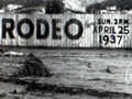
Saugus Rodeo (Speedway) 1938
Acton 1938?
Mentryville 1938?
Santa Clara River
Nickel-Freese Home, Acton
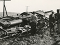
Train Derailed
3/25/1938
Army Corps to Channelize River 8/12/1968
|

The site owner makes no assertions as to ownership of any original copyrights to digitized images. However, these images are intended for Personal or Research use only. Any other kind of use, including but not limited to commercial or scholarly publication in any medium or format, public exhibition, or use online or in a web site, may be subject to additional restrictions including but not limited to the copyrights held by parties other than the site owner. USERS ARE SOLELY RESPONSIBLE for determining the existence of such rights and for obtaining any permissions and/or paying associated fees necessary for the proposed use.
