|
|

Click image to enlarge
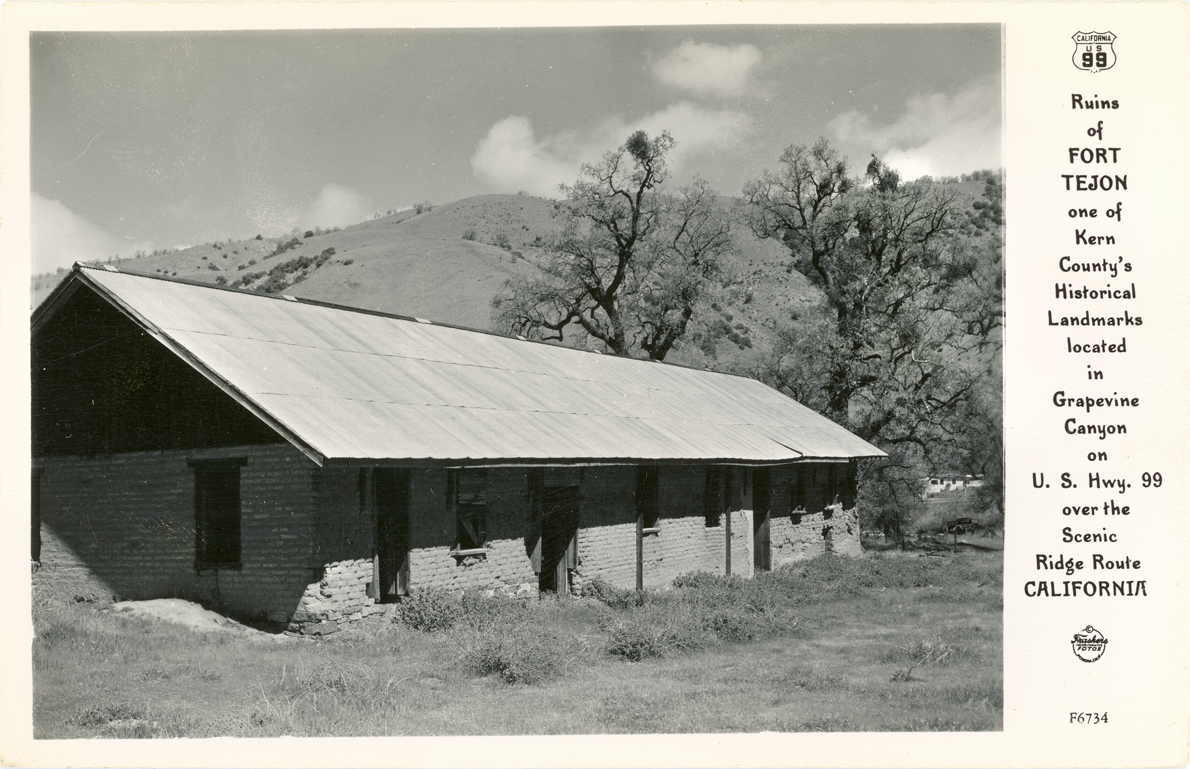
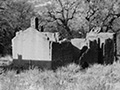
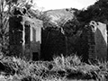
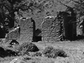
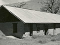
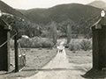
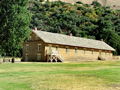
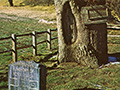
"Ruins of Fort Tejon, one of Kern County's Historical Landmarks located in Grapevine Canyon on U.S. Hwy. 99 over the Scenic Ridge Route, California." Unused postcard, divided back, published by Frashers Inc. of Pomona, Calif. No. F6734 in a series. It's the same series as the earlier of two series of Frasher photo postcards of the short-lived Florafaunium in Lebec, which opened in March 1942, so it was probably printed during or soon after 1942.
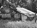
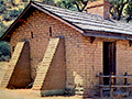
About Fort Tejon. Fort Tejon is located at the top of the Grapevine Pass in Grapevine Canyon (Cañada de las Uvas) on the Rancho Castec. It was garrisoned by the United States Army on Aug. 10, 1854, in order to control Native Americans on the 75,000-acre Sebastian (aka Tejon) Indian Reservation — which Edward F. "Ned" Beale, then Superintendent of Indian Affairs for California and Nevada, was setting up 17 miles northeast on the original Rancho El Tejon — and to guard against raiding parties from other tribes. The first military fort in California's interior, Fort Tejon was abandoned in just 10 years, on September 11, 1864, as a cost-cutting measure by the U.S. Army, which needed to save money to fight the South. Structures at Fort Tejon were arranged in a quadrangle around the parade grounds and were constructed at various times throughout the army's occupation of the fort. Some, including the enlisted men's barracks, were destroyed and rebuilt after a major earthquake, epicentered at the fort, struck at 8:13 a.m. on Jan. 9, 1857. Many more were lost and never rebuilt after an earthquake a century later, in 1957.
LW3276: 9600 dpi jpeg from original postcard purchased 2018 by Leon Worden.
|
Inventory of State Park Collection
Self-Guided Tour 1996
Huell Howser Program 1999
Hotel Plan 1858
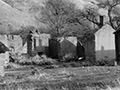
Ruins (Mult.)
Rancho La Liebre 1929 (Story)
Postcard 1930s
Flying A Gasoline 1938
Home Movie 1939
Book: Old Adobes (Cullimore 1949)
Travelogue 1949
Old Gate Pre-1950
Officers' Quarters ~1950s
Headquarters Bldg. 1957 (Story)
Brochure Pre-1967
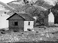
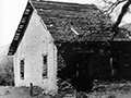
Enlisted Men's Barracks (Mult.)
• 1857 Earthquake (1)
Peter Lebeck Exhumed 1890
Lebeck Story 1901
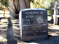
Lebeck Grave 1957 (Story)
Lebeck Oak ~1960s
Lebeck Oak & Grave Marker x7
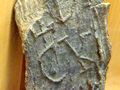
Lebeck Bark x2
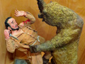
Lebeck Sculpture x3
|


The site owner makes no assertions as to ownership of any original copyrights to digitized images. However, these images are intended for Personal or Research use only. Any other kind of use, including but not limited to commercial or scholarly publication in any medium or format, public exhibition, or use online or in a web site, may be subject to additional restrictions including but not limited to the copyrights held by parties other than the site owner. USERS ARE SOLELY RESPONSIBLE for determining the existence of such rights and for obtaining any permissions and/or paying associated fees necessary for the proposed use.
